Bushwalking in Tasmania – Mt Field East
Summer means bushwalking in Tasmania – with big ol’ blue skies and nice warm weather. The other day we took advantage of some stellar February weather and trundled off to Mt Field East. Mt Field East again is a dolerite mountain, although the tall columns of rock have long since collapsed and the mountain is basically a big pile of rocks. Still a very nice day walk.
Starting the Walk
The walk starts in eucalypt forest on the Lake Dobson road and you climb reasonably steadily for the first 30 minutes or so. Then the walk flattens out and you reach Lake Nicholls where there is a nice hut. This is a great spot for a break – and probably a swim too if you felt inclined!

Bushwalking in Tasmania: Lake Nicholls – Mt Field East Day Walk
The walk continues upward from the hut and you start to cross a dolerite boulderfield with pandani sprinkled here and there and some wonderful old snow gums. It’s a steady climb but by no means difficult. Just watch your feet as some of the boulders are a little wobbly. You soon reach another plateau, this time its all low alpine vegetation such as pineapple grass and scoparia, with clumps of snow gums. You also get your first views of the peak here. After a short walk across the plateau you reach signposts – one pointing to the summit of Mt Field East and the other pointing back to the road. There are two routes back to the road – either retrace the way you came or head towards Seagers Lookout and Lake Fenton. Going this way involves walking a couple of kms down the road back to where you parked the car, but Seagers Lookout is a great vantage point and Lake Fenton is a nice lake where you can see Tasmania’s fagus trees – especially beautiful in the autumn months.

Mt Field East, Summit View
Views from the Summit
The climb to the summit doesn’t take too long from the signpost, but mostly traverses boulderfields. There are cairns and wooden posts keeping you on track, but if the clouds were down it would be quite easy to lose your way. The summit is 1274 metres, and offers great views to the Rodway Range in the West of the Park, and south to the distant ranges of the World Heritage Area. The views to the north & north east are of the Midlands – in summer the hills look very bare and yellow.

Mt Field East, Summit View
We had lunch with a swarm of skinks at the summit before heading down. Including photo stops we spent almost 7 hours on the circuit. We were also glad we walked from the first car park rather than Lake Fenton because it meant we were able to score a lift from Lake Fenton back to where we left the car which would have saved at least 30-40 minutes walking time!

Skinks at the summit of Mt Field East
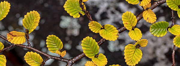
I noticed a lot of great looking gum trees on the lower slopes above Lake Fenton and made a note to self to get back there one day in the mist or the rain – Tasmanian snow gums have the habit of really shining when they are wet, and show off great yellows and reds.