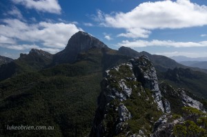
Frenchmans Cap Hike (Part 1)
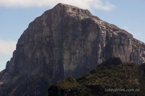
Frenchmans Cap dominates the skyline of central Tasmania and is a magnificent peak to view as you drive the Lyell Highway between Lake St Clair and Queenstown. Donaghy’s Hill is a short walk which allows you to view the white quartzite peak in the distance, but those who decide to get closer to this mighty peak need to allow at least 3 (and preferably 4 or more) days to undertake the hike.
The walking track starts around 30 minutes west of Derwent Bridge, where there is a large car parking area and some information boards. There are two huts on the trail for visitors meaning a certain amount of comfort is available at the end of a long days walking, and on our trip recently we made use of the hut at Lake Vera on nights 1 and 3; and camped remotely off the track en route to Lake Tahune (those photos will be the subject of an upcoming post!)
Frenchmans Cap Hike Day 1: Lyell Highway to Lake Vera
The first day makes use of a brand new section of track which is a delight to walk. You will reach the Franklin River after just a few minutes, and then start the traverse of the Franklin Hills, the high point being the saddle below Mt Mullens. From here you head downhill to the Loddon River, and shortly afterwards, the new “Soddon Loddons Bypass” begins, and what a wonderful bypass it is! The track is level and undulates quite gently up and down before rejoining the old track in some very nice rainforest. The track is steeper here, and a bit more care is needed as you walk over gnarly tree roots and rocks. Eventually you reach a buttongrass valley which leads to the hut at Lake Vera.
Frenchmans Cap Hike Day 2: Lake Vera to Camp near Sharlands Peak
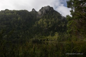
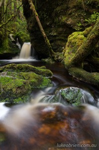
The trail on Day 2 was much tougher, but the scenery was far more interesting. After following the shoreline of Lake Vera for 30 minutes or so, the steep climb towards Barron Pass begins. The trail follows a beautiful rainforest creek, and after a short while you pass a lovely section of cascades next to a small bridge. As you climb further, the cliffs of Nicholls Needle above you become visible through the myrtle canopy. Shortly after this you will reach the stunning views from Barron Pass, and your first close views of Frenchmans Cap.
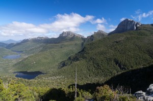
From here the track becomes quite rocky but the views are stunning. We camped off the track near Sharlands Peak, as the views of Frenchmans Cap to the west and the King William Range to the east were irresistable to the photographer in me 🙂
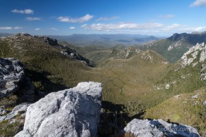
This is the scene that inspired me to camp the night nearby. I could imagine what a sunrise would look like from here and immediately decided this would be a great camp site!
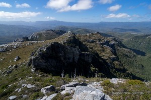
Remote mountains on the Frenchmans Cap hike. View towards the Cradle Mountain Lake St Clair National Park
Day 3 & 4; and sunrise/sunset session blog posts coming soon!
