Tasmania’s Best 5 Photography Locations: Tarkine
Part 2 of my Top 5 Photographic Locations in Tasmania is the wild lands of the North West, the Tarkine.
The word “Tarkine” does for me what few other locations names can – it conjures up an image of somewhere wild and a land as old as time itself yet at the same time new and fresh and waiting to be discovered. To take a few steps off track in this area could have you stepping on land that has not been walked before.
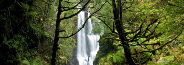
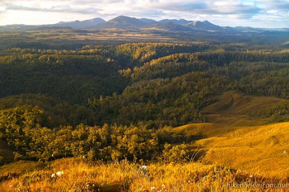
The rewards for landscape photography are many and varied. In the southern end of the Tarkine, based around Waratah and Corinna you have magnificent rainforest walks such as Philosophers Falls, and mountain views from peaks such as Mt Donaldson. Much longer and remoter walks await in the Norfolk or Meredith Ranges.
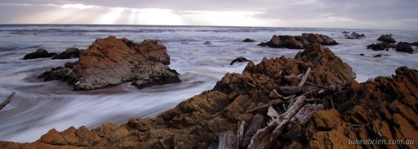
The Tarkine coast between the Pieman River in the south and the Arthur River in the north is as rugged and wild as you could ask for. Full of intricately jagged and lichened rocks and long wind blown sand dunes.
The road which links Waratah and Corinna affords wonderful landscape views, so too the “Road to Nowhere” which links Corinna and Arthur River and is comparable to the Lyell Highway (which links Queenstown and Hobart via Lake St Clair) in terms of imparting a sense of being in a truly timeless and untouched environment.
The northern end of the Tarkine is home to Arthur River and the South Arthur Forest Reserve.
Tarkine Highlights:
Coastline at Arthur River
All in all as you should allow as much time as you can to fully explore this area, and a week would be great if you can. Apart from walking and exploring time, driving times in the region are reasonably long, as a lot of the roads are unsealed. Corinna has some great accommodation, and Arthur River has accommodation and camping. Be careful of large log truck traffic when you are on the slow and windy unsealed roads.


