Bushfire Aftermath – South West Tasmania
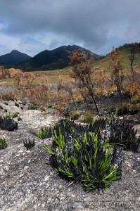
The Tasmanian bushfires have come and gone and gradually all the roads and walking tracks in affected areas have reopened. I took a drive out to the South West a couple of weeks ago. It was my first visit to the area since the fires so I was keen to see for myself the extent of the fires.
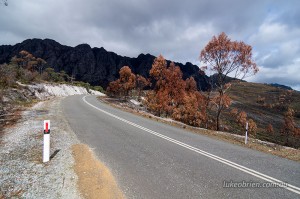
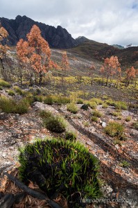
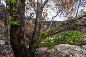
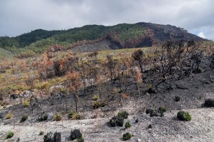
The first encounter with the burnt landscape was out near the Wedge Picnic Area. Basically one half of the Sentinels look to have been just about completely burned as are the plains and pockets of eucalypt that are common out here.
I would like to think the rainforest survived, and looking at the satellite overlay on the Tas Fire maps, it looks indeed like a lot of the cool and damp rainforest has acted as a natural buffer against the fires. I am sure some patches of rainforest were part of the burnt zone, but a quick glance at the fire boundaries does seem to reinforce the fact that the cool, dampness of the rainforest is a vital natural barrier against fire.
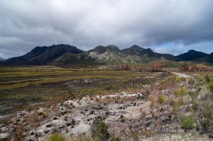
The Sentinels – the back (left) section look to have been completely burned, while the front (right) seem relatively OK
Hats off to the firies and everyone who fought so hard to bring these fires under control. Glad the summer is behind us but obviously can’t ignore the fact that global warming is going to make these events so much more frequent and ferocious.
