The Western Explorer in Tasmania’s Tarkine
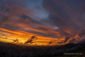
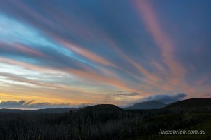
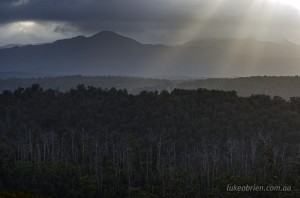
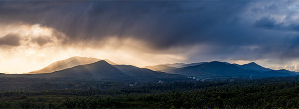
The Western Explorer in Tasmania’s Tarkine links the remote towns of Corinna in the south and Arthur River in the north. The road is in good condition, although unsealed and very remote so great care should be taken when visiting. The road takes you through some wonderful vistas of the Tarkine – including mountain ranges, rainforest clad rivers and vast buttongrass plains.
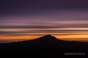
Tarkine Sunset: Western Explorer and Mt Donaldson
The first landmark is the gently rounded slopes of Mt Donaldson. There is a hiking trail to the summit which provides magnificent views. It is only a couple of hours each way and the walk starts near the Savage River bridge.
A few minutes past the bridge the road leaves the rainforest and the first wide open vistas of the Tarkine can be experienced. Mt Donaldson is not a massive peak but its gentle slopes make for a nice feature and a good location to shoot a sunrise or a sunset.
Further along the road there used to be a nice little walking trail to “The Longback”. This trail involoved a short climb to a buttongrass ridge with really nice views but is unfortunately no longer maintained since a bushfire went through the area in 2008.
The road continues north past the Donaldson River, the Norfolk Range and Balfour before a junction is reached where you can head to the coast at Couta or continue exploring the Tarkine rainforest in the South Arthur forest drive. You can view and download some maps and visitor guides here.
Tarkine Photography Workshop
For details on my Tarkine Photography Workshop please visit this page. New dates will be updated periodically.
